
Skyhawk Analytics
Let us show you how our cutting edge aerial informatics platform can help your organization run in a smarter and more efficient way!


How it works

Data Input
We collect aerial imagery and video data from drones, satellites and aircrafts along with IoT data from ground based sensors

Data Processing
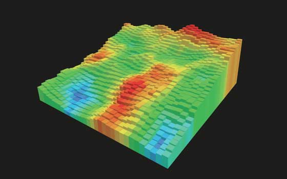
Transformation and Intelligent Aggregation of datasets using Skyhawk’s scalable cloud infrastructure. Our proprietary deep learning and AI algorithms intelligently detect and predict any hidden patterns or trends

Data Output
Timely delivery of intelligent reports and actionable insights to augment and support data-driven decision making for businesses and organizations.
SkyHawk Platform Applications


About Skyhawk

Aerial Informatics
At Skyhawk Analytics, our passion is to gain a better understanding of the world around us through data. We created the Skyhawk Aerial Informatics platform specifically for users and consumers of ever growing image and video data generated by airborne vehicles such as drones, airplanes, and satellites.
Intelligent Insights
Our platform’s proprietary analytics engine processes this data and analyzes it using intelligent learning algorithms that allow us detect and see interesting patterns, objects, and trends. Performing this analysis in near real-time and at scale is what makes the Skyhawk Aerial Informatics platform unique in the market and provides value to our customers

Contact us
Interested in learning more about how Skyhawk’s Aerial Informatics and Analytics platform can help your organization? Reach out to us and we’ll be in touch with you shortly.